BP Shuts UK Field After Oil Leak
This post updates Why Wytch Farm is a poor fracking comparison for Somerset with the new information we have from the Department of Energy and Climate Change (DECC) on the reality of coalbed methane (CBM) production in Chew Valley and the surrounding areas of Somerset and why the two don’t bear comparison. The information presented below is all based on data from DECC, the British Geological Survey and the Ordnance Survey.
What is Wytch Farm?
Wytch Farm is an oil and gas field on the south coast of England, it is described as “the largest onshore oil field in western Europe” despite the fact that most of it is offshore.
What is the significance of Wytch Farm?
In relation to unconventional gas in Somerset Wytch Farm is significant because some people say the development at Wytch Farm shows that similar development in Somerset needn’t be obtrusive – read on.
Where is Wytch Farm?
The onshore processing facilities and oil and gas wells are located on the shoreline of Poole Harbour between Corfe Castle and Bournemouth. The oil field (shown in pink in the figure below) occupies 47.6 sq km in total, of which 16.9 sq km (35%) are onshore and the rest offshore (64%).

Wytch Farm Oil Field shown in pink. Wells in yellow. Onshore or offshore?
How many Wells are at Wytch Farm?
There are 200 wells at Wytch Farm all of which are classified by DECC as conventional oil and gas wells, NOT shale gas or coalbed methane. Of these 55 of the wells (28%) are either in the English Channel, in Poole Harbour or on Furzey Island, which leaves 145 onshore wells (72%). Some of these wells have used directional drilling to extend up to 11 km under the English Channel.
How deep are the wells at Wytch Farm?
The wells at Wytch Farm are approximately 1,600m (5,250 feet) beneath the surface. By comparison the DECC/GeoMet report on potential CBM wells in Somerset is based on wells from 152 m (500 feet) to 1,524 m (5,000 feet) depth, so potentially ten times shallower than at Wytch Farm.
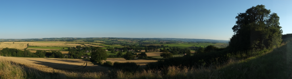
What do the Wytch Farm facilities look like?
Have a look at the links in the first posting Why Wytch Farm is a poor fracking comparison for Somerset, here is an example from Southampton University:

It is not visible to the public because almost nobody lives within miles of it, read on.
What impacts have the Wytch Farm developments had on local communities and how similar might this be to the Somerset case?
There is no direct answer to this post development but it is reasonable to assume that proximity of communities to the wells in an important factor in terms of traffic, air, noise and light pollution. It is worth also noting that any surface spillage at Wytch Farm would drain into Poole Harbour whereas surface spillage in Somerset may drain into Bristol’s potable water supply.
As an indicator of local impacts how many buildings occur within a 2 km radius of the wells and Wytch Farm compared with the potential CBM wells in Somerset – according to the DECC/GeoMet assessment? Note that Dallas City Council has banned fracking within 1,500 feet (460m) of any residence, school, place of worship or protected area.
Using Ordnance Survey OpenData of buildings there is a total of 6 hectares of buildings within 2 km of the onshore wells at Wytch Farm. This includes residential, farm and industrial buildings including the oil processing facilities themselves.

Wytch Farm Onshore Wells, 2km buffer in red
Performing the same exercise around the 300 hypothetical wells in Somerset as specified by DECC/GeoMet gives the following pattern in which there are 876 hectares of buildings within 2km of a well. So in Somerset there are 140 times more buildings within 2 km of a prospective gas well than at Wytch Farm.

Somerset 2km buffer around prospective wells
Another way to look at this is to look at the distance of all building from a well. So this graphic of cumulative area of buildings (Y) against distance to a well (X) for Wytch Farm shows that the proportion of buildings within 2 km of a well is almost zero.

Wytch Farm Cumulative Building Distance To Wells
Conversely this graphic of cumulative area of buildings (Y) against distance to a well (X) for Somerset shows that about half of all buildings would be within 2 km of a CBM gas well.

Somerset Cumulative Building Distance To Wells
For Wytch Farm about half of all buildings would be within 9 km of a well, in Somerset all buildings would be within less than 6 km of a well.
Based on information from the Department of Energy and Climate Change, the British Geological Survey and the Ordnance Survey it is pretty clear that conventional oil and gas production at Wytch Farm has little in common with coalbed methane development in Somerset either technically or spatially. The “put a hedge around it” argument is just not good enough.
Is 2 km too big? Let’s try a 460m zone around building like the Dallas City Council ban, what does that look like?

460 m Buffer Around Buildings
The Dallas ban applied in the Somerset CBM field would effectively squeeze out CBM development. Somerset’s rural areas are highly populated when compared to either America or Wytch Farm.
